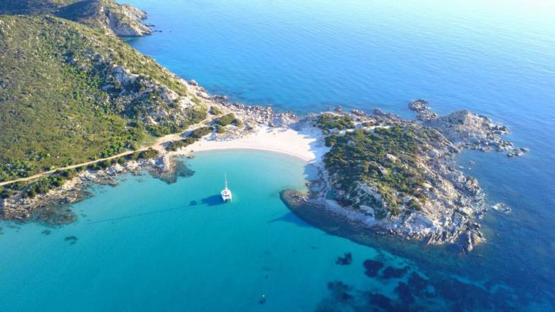
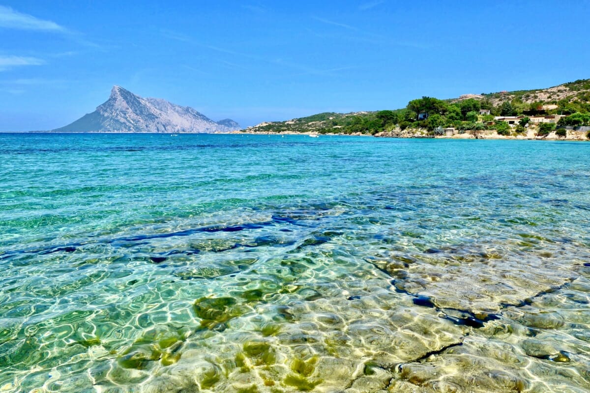
Capo Figari è un vero e proprio museo all’aperto a Golfo Aranci. Un suggestivo e incontaminato caleidoscopio di colori, storia, profumi e natura.
Top 5 tours Tavolara
Dolphin watching
- 4 hours
- Olbia
Boat Tours
- 4 hours
- Olbia
Dolphin watching
- 3.5 hours
- Golfo Aranci
Snorkelling
- 4 hours
- Olbia
Dolphin watching
- 8 hours
- Golfo Aranci
Capo Figari and its wonders
Capo figari è un promontorio a carattere prevalentemente calcareo nel territorio di Golfo Aranci. La penisola che si colloca sulle coste della Gallura ha inizio con un istmo che ospita il paese di Golfo Aranci. Il promontorio divides the coast into 2 large gulfs forming to the north the Gulf of Congianus, which includes the Gulf of Marinella, and to the south the Gulf of
Its summit reaches a height of about 350 metres above sea level and its coastline is characterised by rocks, sand and sea of enchanting colours: le spiagge di Golfo Aranci (la prima, la seconda, la terza, la quarta e la quinta), la spiaggia dei Baracconi, Cala Moresca, Cala del Sonno sino ad arrivare a nord a cala Sabina.
The north-eastern part of Capo Figari, the part facing the open sea, is famous for its limestone cliffs with l’Anfiteatro – an incredible 200-metre high cliff overlooking the sea visitabile esclusivamente in barca. Capo Figari e l’isola di Figarolo grazie alla loro peculiare ricchezza in termini di biodiversità sono un SIC Site of Community Importance included in the Natura 2000 network.

There is really a lot to see, remember to take some water bottles with you, and the advice is not to do this walking tour during the hottest hours of the day - especially in August
The road to Capo Figari
How to reach Capo Figari
To find the road to the Promontory of Capo Figari, one must first reach Golfo Aranci. You must then proceed past the village and the marina area and continue sulla strada che conduce a Cala Moresca.
Via Cala Moresca è una strada inizialmente asfaltata – sino alla piccola chiesetta campestre – poi si trasforma in strada bianca percorribile sia in auto che a piedi. Giunti all’altezza della Baracconi Beach it is necessary to leave your car in the car parks (paid parking in the summer season and free in winter) and continue on foot.

Before parking, pay close attention to road signs and do not enter a no-parking zone. Fines are just around the corner.
From Baracconi Beach start visiting Capo Figari, the best choice is to walk along the sea from the car park per passare attraverso “Il Piccolo sentiero dell’Elicriso”.
This is a delightful stretch of path, near an old lime kiln, bordered by a veritable expanse of fragrant helichrysum - in spring with truly massive flowering.
Along the road and on the promontory there are several well-marked percourses of trekking with signage and special infographics explanatory.
Read also What to see at Golfo Aranci
2 enchanted bays: Cala Moresca
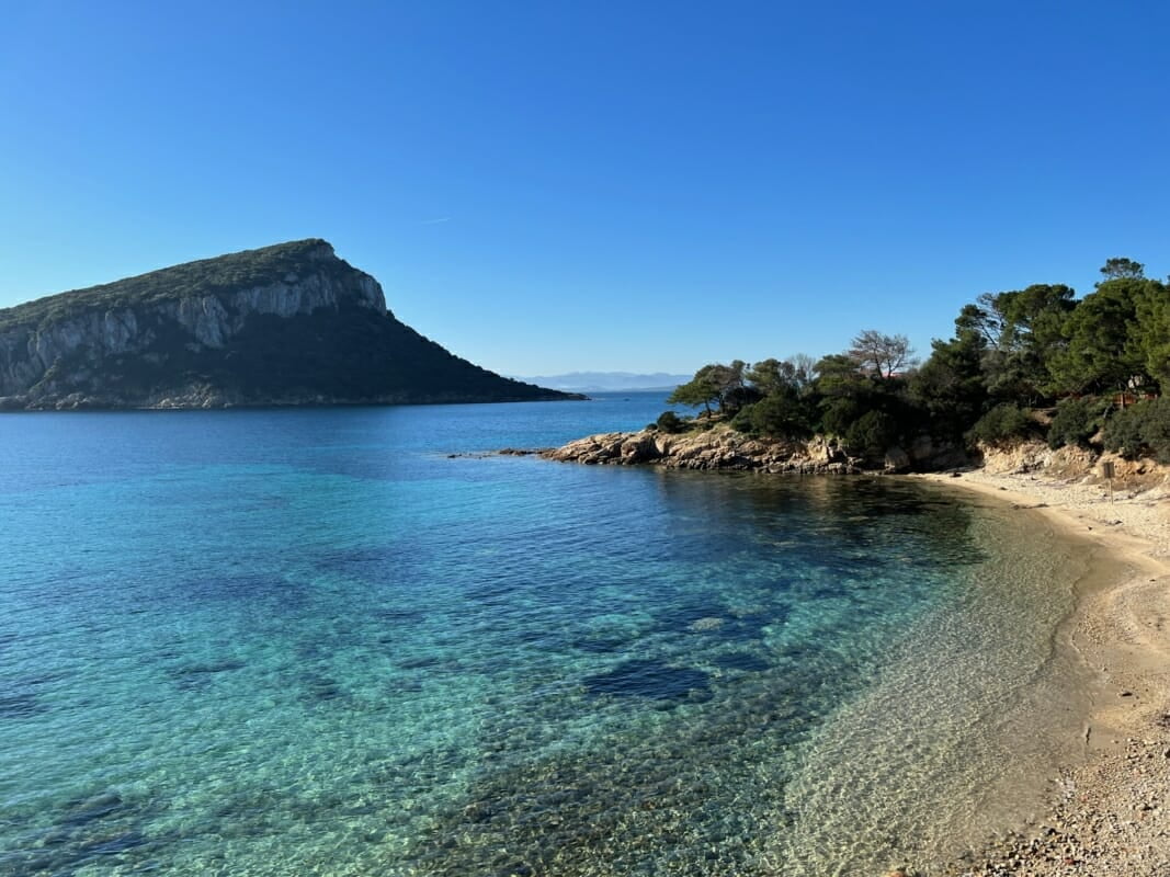
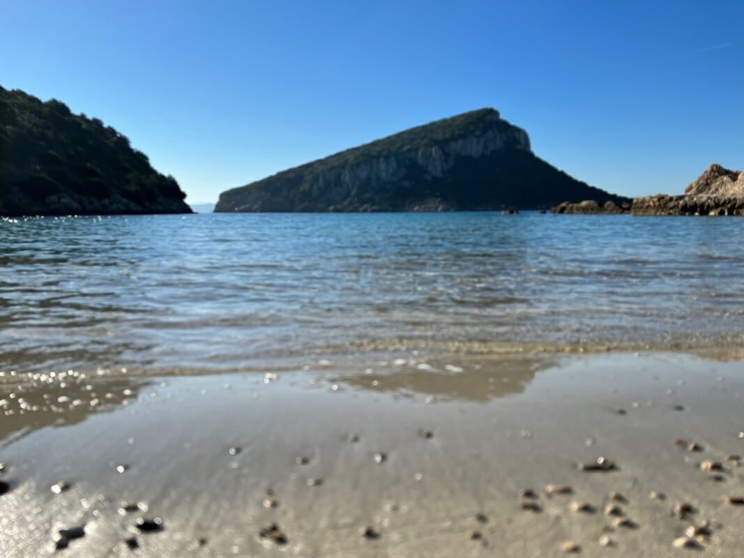
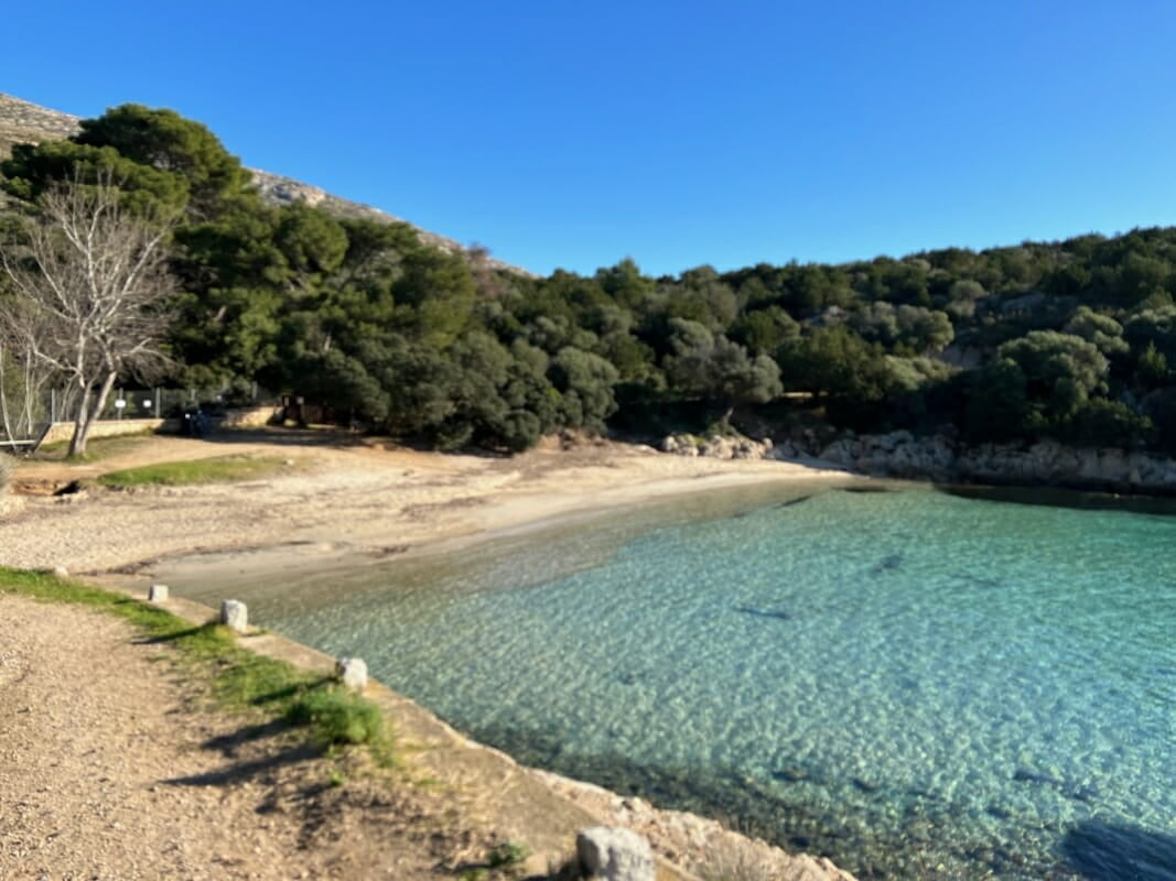
From the Spiaggia dei Baracconi (Beach of Baracconi), continue on foot along the white road to the enchanting bay of cala Moresca with its two beaches and breathtakingly coloured sea. In front of the bay, for protection, you can see the nearby islet of Figarolo.
In the area behind Cala Moresca there are buildings, ovens, a small site of industrial archaeology with a lime kiln abandoned after only a few years. A pine forest provides shade and shelter for the animals that inhabit the area.
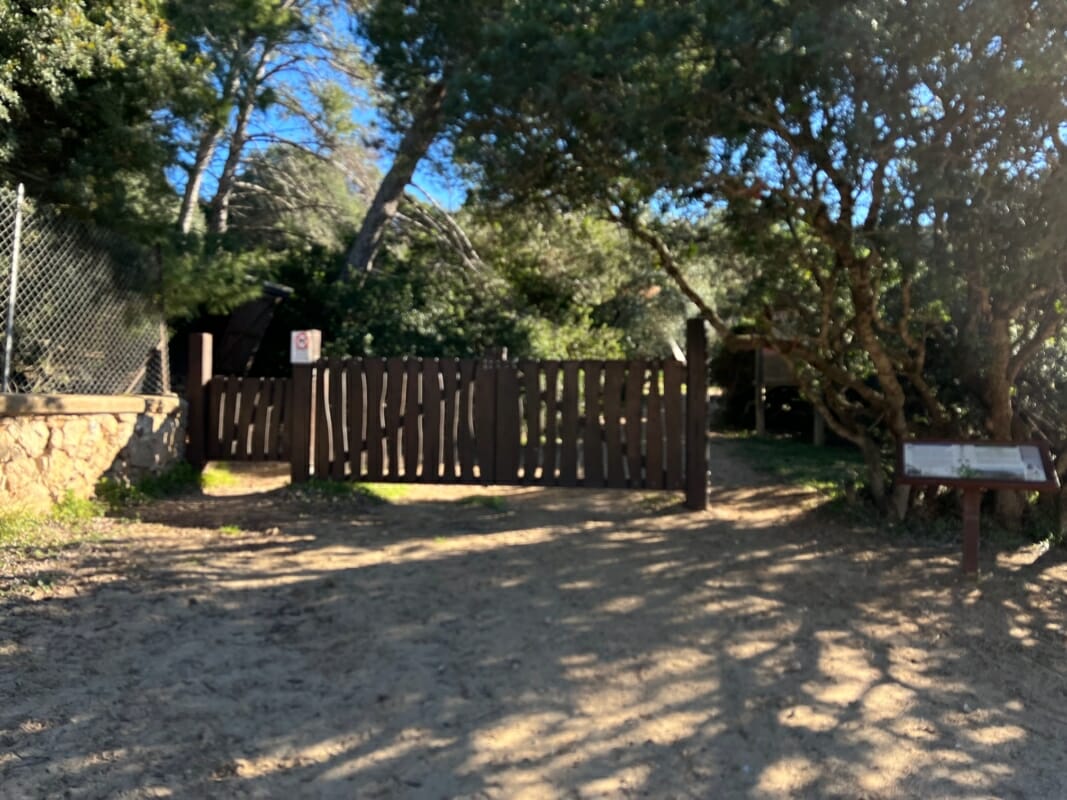
From Cala Moresca begins the path that penetrates and climbs the promontory. Continuing along the road beyond the gate you can reach:
- The English Cemetery with the Greek Cove and the fort at Punta Filasca
- The Carbonai path leading to Case Rosse
- The Navy's Marconi Traffic Light.
The English Cemetery
From Cala Moresca begins the path that penetrates and climbs the promontory. Continuing along the road beyond the gate you can reach:
- The English Cemetery with the Greek Cove and the fort at Punta Filasca
- The Carbonai path leading to Case Rosse
- Il Semaforo Marconi della Marina Militare
From Cala Moresca begins the path that penetrates and climbs the promontory. Continuing along the road beyond the gate you can reach:
- The English Cemetery with the Greek Cove and the fort at Punta Filasca
- The Carbonai path leading to Case Rosse
- The Navy's Marconi Traffic Light.
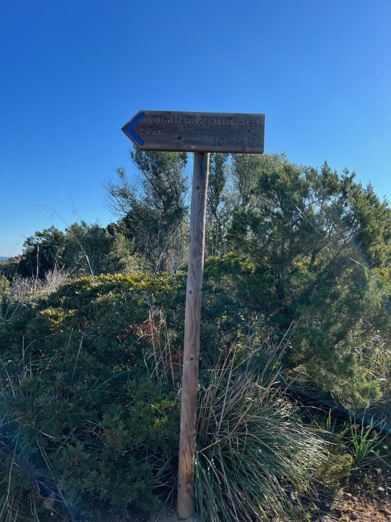
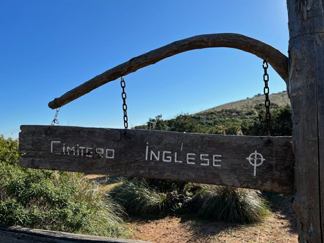
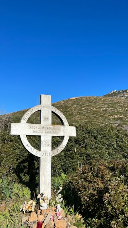
Less than 100 metres from the access gate of Cala Moresca is the first well-marked fork. Taking the road to the right you reach the English Cemeterya tiny space bordered by a fence surrounded by Mediterranean scrub and typical plants. In this reserved place there are a few graves on which a Celtic cross stands out, which led to the name "of the British" to this place of peace.
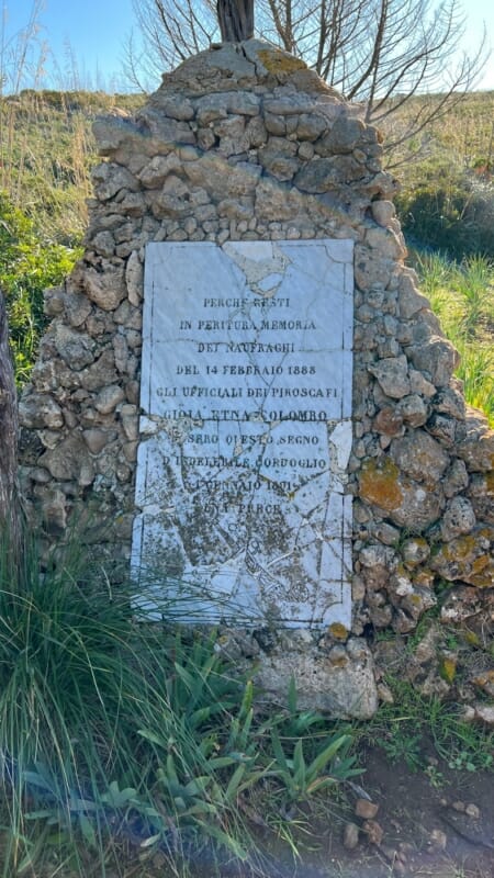
The most visible tomb is the one laid in honour of an English sailor – Sacred To The Memory of George Bradshaw Died 12 June 1900 Aged 18 yeard H.M.S. Vulcan. In reality, the English Cemetery at Golfo Aranci houses mainly Italian sailors who disappeared during some shipwrecks along the coast.
Cala Greca
Past the small graveyard is the picturesque Cala Greca with its small accesses to the sea. Beyond Cala Greca, one can see sailing along the coast the rock called Mama Chiatta with a profile resembling an old woman with a bun looking out to sea. During boat trips in this area it is also possible to admire the rock of the Mamuthone – tipica maschera sarda – e poi l’anfiteatro – la famosa cliff overlooking the sea.
The fort of Punta Filasca
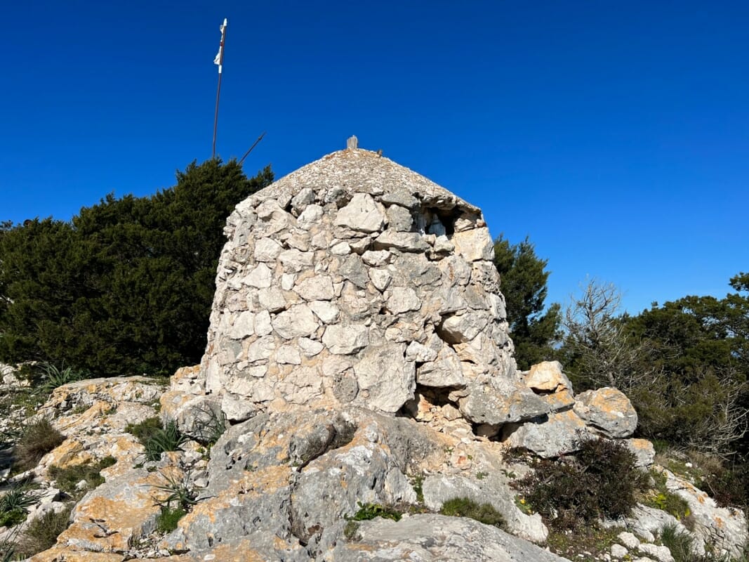
On the road leading to the English Cemetery, continuing towards the promontory of Punta Filasca, one reaches the Luigi Serra coastal battery built during the war. On the summit of Punta Filasca are and visible circular bases with large bolts on which the cannons were anchored.
In the depths in front of the fort there are numerous archaeological finds including many anchors from the Byzantine periodunderwater caves populated by abundant marine fauna including groupers, cicadas, octopuses, corvinas, amberjacks and moray eels.
The Traffic Light and Guglielmo Marconi
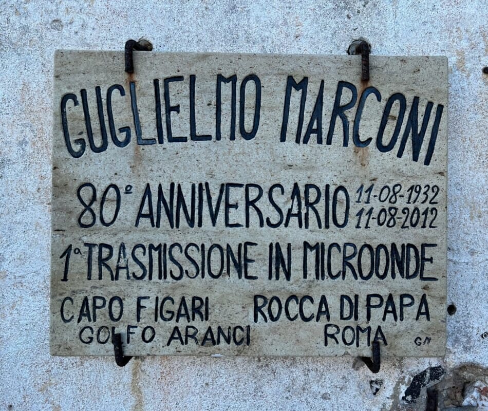
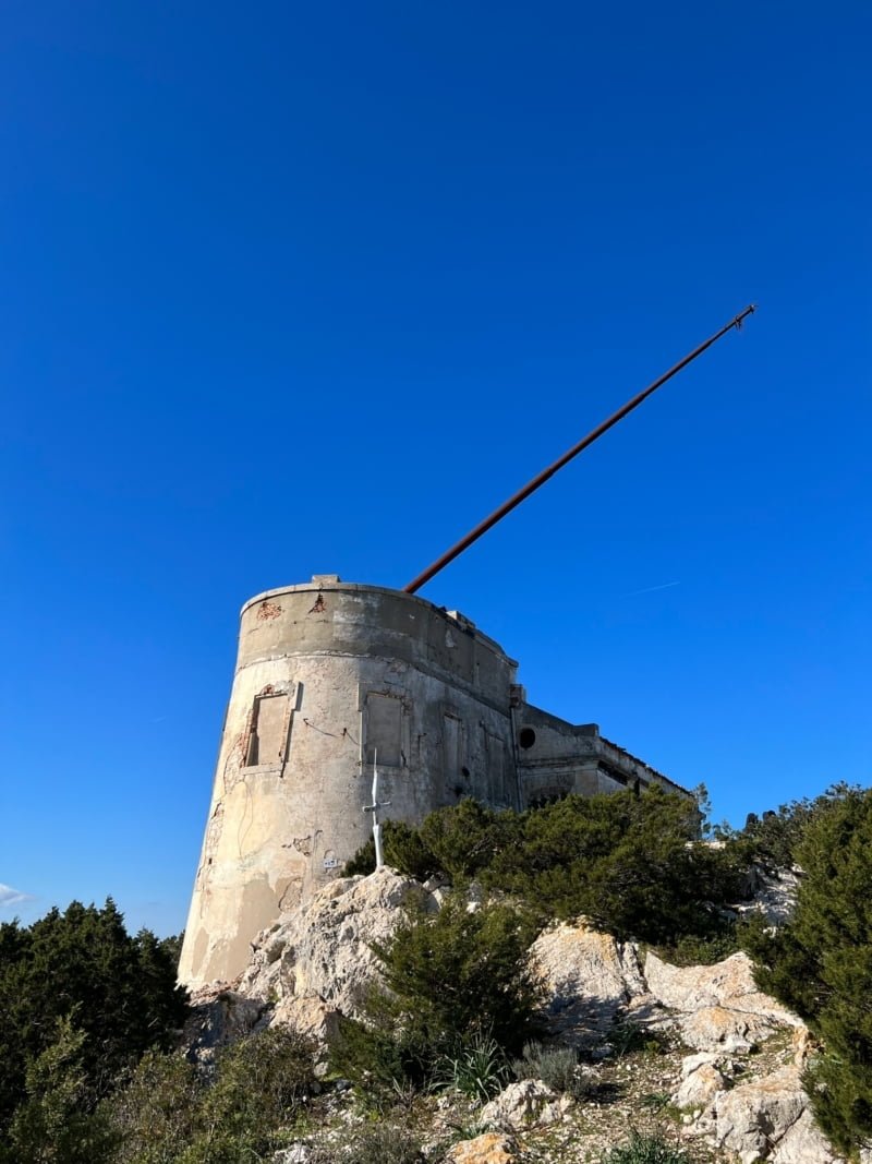
The most convenient way to reach the Marconi traffic lights of Golfo Aranci located on top of Capo Figari is to walk the road from Cala Moresca past the access gate. Walk the path uphill for about 3 kilometres you reach the summit of Capo Figari on which the remains of the Navy semaphore stand out at about 350 metres above sea level.
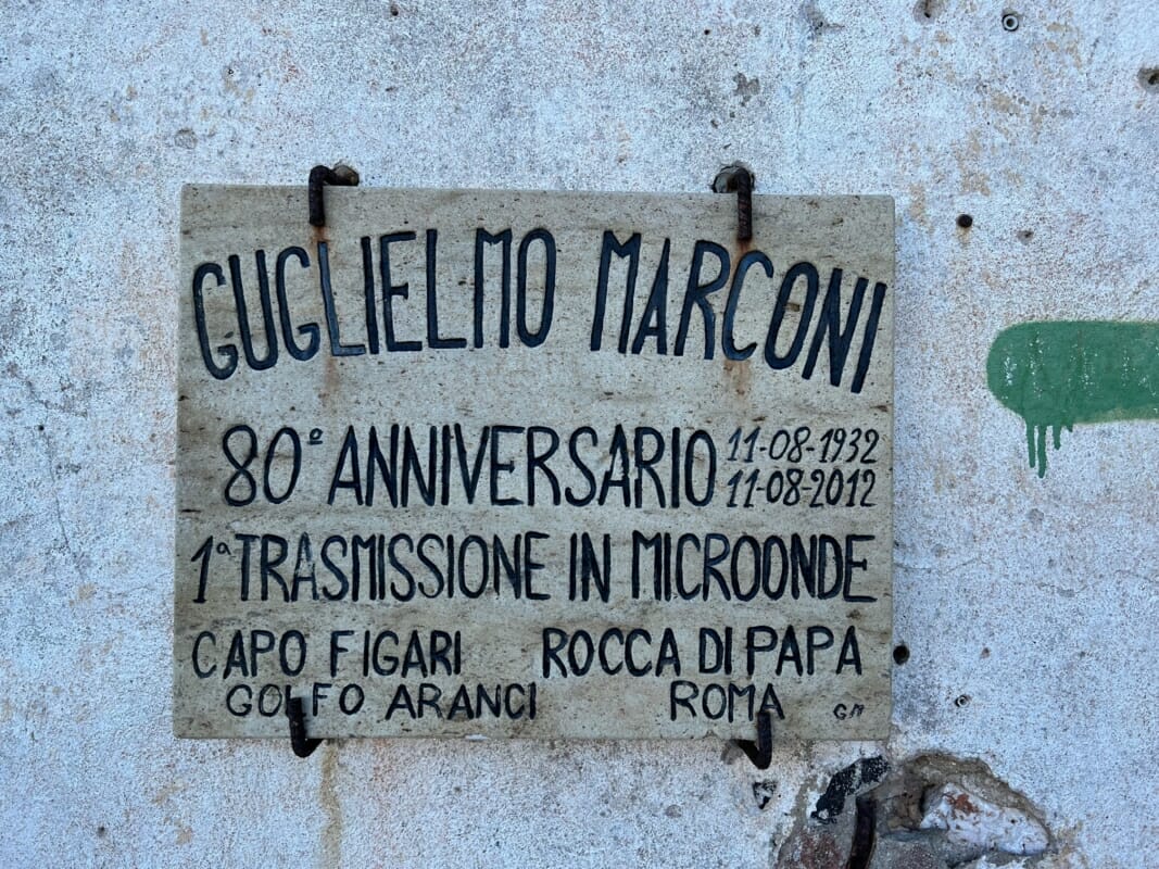
L’11 agosto 1932 Guglielmo Marconi carried out a short-wave radio link with the first microwave transmission between Capo Figari and Rocca di Papa - Rome at 269 km. Along the route there are information boards giving details of the flora, fauna and interesting historical facts about the area and the experiments conducted by Marconi.
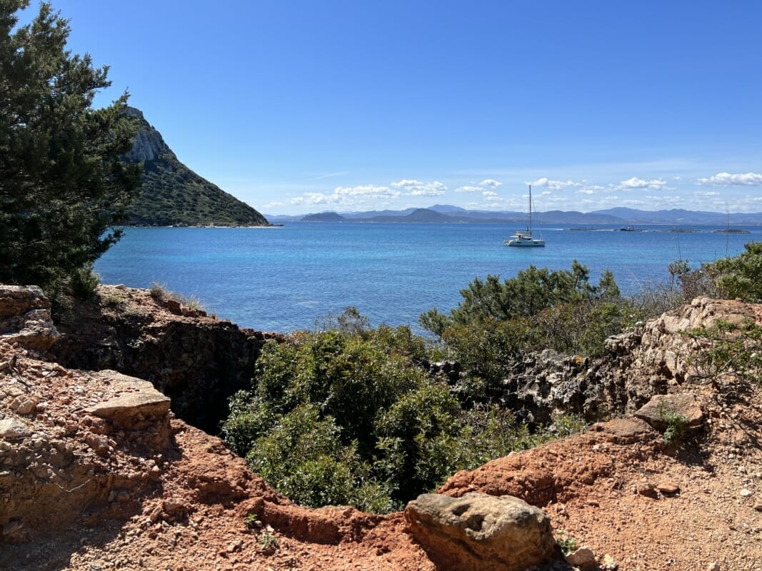
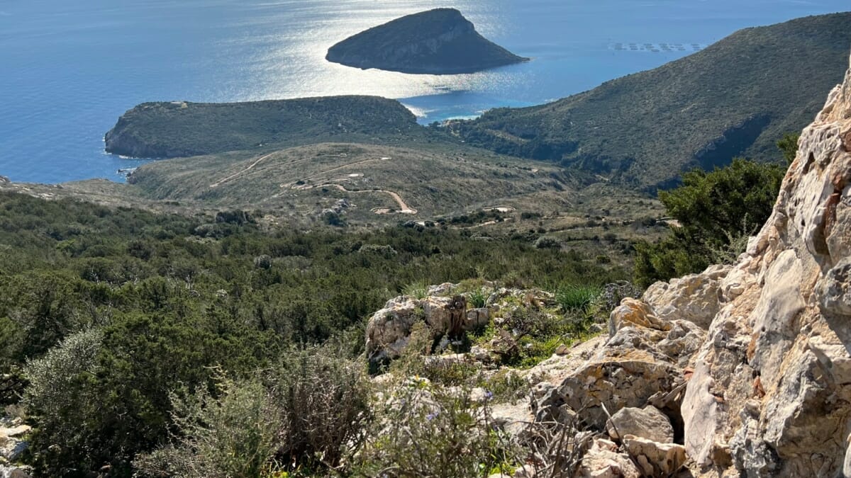
When you reach the Traffic Light, you can enjoy a breathtaking view, la sensazione è di aver raggiunto l’ultimo piano prima del paradiso. Dalla vetta si domina il territorio a 360°, un punto panoramico con a sud il golfo di Olbia con capo Ceraso e l’isola di Tavolara, a nord isole Soffi e Mortorio con Cala di Volpe, l’La Maddalena Archipelago e la Costa Smeralda a illuminare lo sfondo.
The building that makes up the Semaphore of Capo Figari is today in a state of decay and in some places unsafe. It is a complex consisting of three main constructions: the semaphore station, the telegraph station and the refectory.
Figarolo Island: between mouflons and herons
Opposite the enchanting bay of Cala Moresca stands the small islet of Figarolo, as an island that can only be reached from the sea. It is a limestone emergence that stands out in the sea due to its pyramid shape, la flora e la fauna presenti sull’isola sono di assoluto interesse.
Prominent specimens include mouflons, cormorants, peregrine falcons, herring gulls and Corsican gulls. On days in late August and September, ashen herons can be seen on the island's spires che rallegrano le rocce e movimentano la vita sull’isola.
The surrounding seabed is a true paradise for scuba divers, with underwater caves, bays and landslides populated by passage fish and shoals of common fish.
Nella zona sud dell’Isola è visibile anche facendo snorkelling "the submerged 'Nativity scene' with statues of Mary, Joseph and the baby boy.
The Milis well and spring
Sacred wells in Sardinia
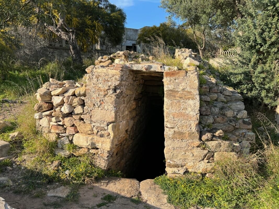
Someone, many many years ago built a well that has come down to us...
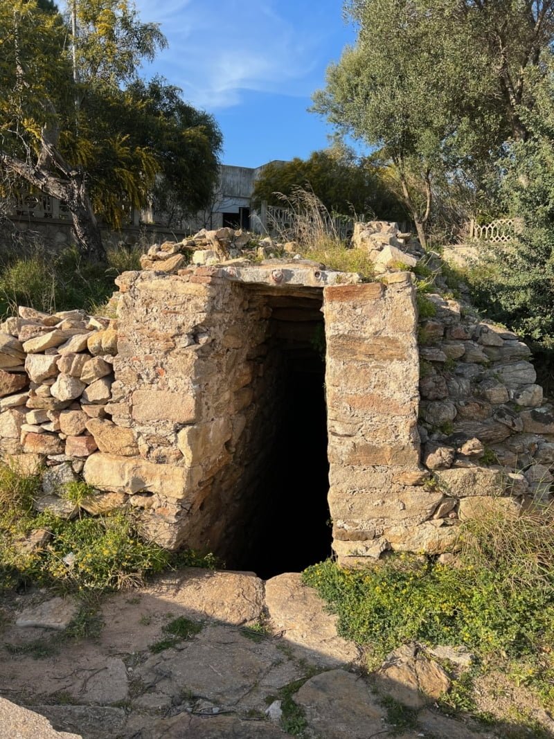
Near the Golfo Aranci railway station and the old colony is the Milis well, un pozzo sacro con all’interno una sorgente dating from the 3rd century B.C. (recent studies are trying to determine its exact date). The Milis sacred well is the subject of archaeological studies and one of the attractions of Golfo Aranci. The area that surrounds it is not widely exploited, however, in order to better understand its nature, more in-depth research has been undertaken with a view to making it more accessible in the future.
These are uno dei pochi pozzi sacri vicini all’acqua presenti in Sardegna and it is believed that remains of a Nuragic village may be found in its immediate vicinity.

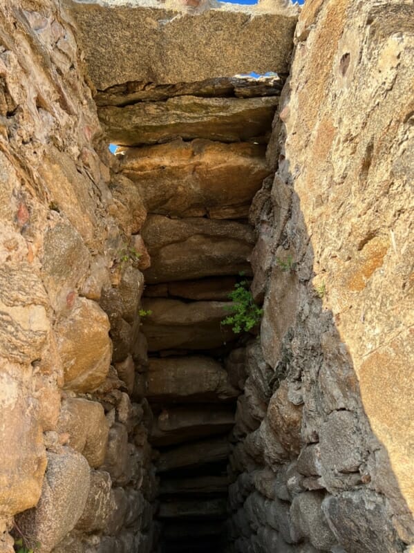
Very special is the ceiling covering the well, which gives the impression of a staircase with an inverted view.
Top 5 tours Tavolara
Dolphin watching
- 4 hours
- Olbia
Boat Tours
- 4 hours
- Olbia
Dolphin watching
- 3.5 hours
- Golfo Aranci
Snorkelling
- 4 hours
- Olbia
Dolphin watching
- 8 hours
- Golfo Aranci
How useful was this post?
Click on a star to rate it!
Average rating 4.9 / 5. Vote count: 13
No votes so far! Be the first to rate this post.

